The built heritage of Maker Heights
On visiting Maker Heights on the Rame Peninsula you will see what was a nationally important part of the defences of the Royal Naval Dockyard in Devonport.
The story starts in 1690 when the Admiralty awarded a contract to construct a stone dock on the eastern side of the River Tamar. At the time Plymouth was considered an increasingly important location for the Royal Navy as it was closest to the main French Atlantic naval base at Brest. Portsmouth was of course further up the Channel.
At first called just 'Dock', the Royal Navy dockyard grew in importance from its inception in 1690 until 'Plymouth Dock' became a town in its own right. In 1796 there were at 20,000 inhabitants, a larger population than Plymouth or Exeter. By Royal proclamation the town became Devonport on 1st January 1825, elected its first MP in 1832 and received a charter of incorporation for Queen Victoria on 13th October 1837. On 21st July 1914 the three towns of Devonport, Stonehouse and Plymouth were united – hence’ Union Street’ which joined them. During the First World war the dockyard employed 20,000 workers.
But looking back, in 1756 the Seven Years War with France had started, so on the landward / eastern side of the growing dockyard construction began of what became known as the Dock Lines. However, it became clear that the Royal Navy base was unprotected on its western / Cornish side.
Then the military importance of Maker Heights to Plymouth Dock was brought into sharp focus in 1779. Most people know of Francis Drake and the Spanish Armada of 1588, but few have heard of the 1779 Franco-Spanish Armada. In July 1779, taking advantage of British naval commitments during the American War of Independence, the French and Spanish joined forces to attempt an invasion of Britain. Although the original plan was to land on the Isle of Wight and attack Portsmouth, a change in orders meant the huge Franco-Spanish naval fleet appeared off Plymouth in August 1779.
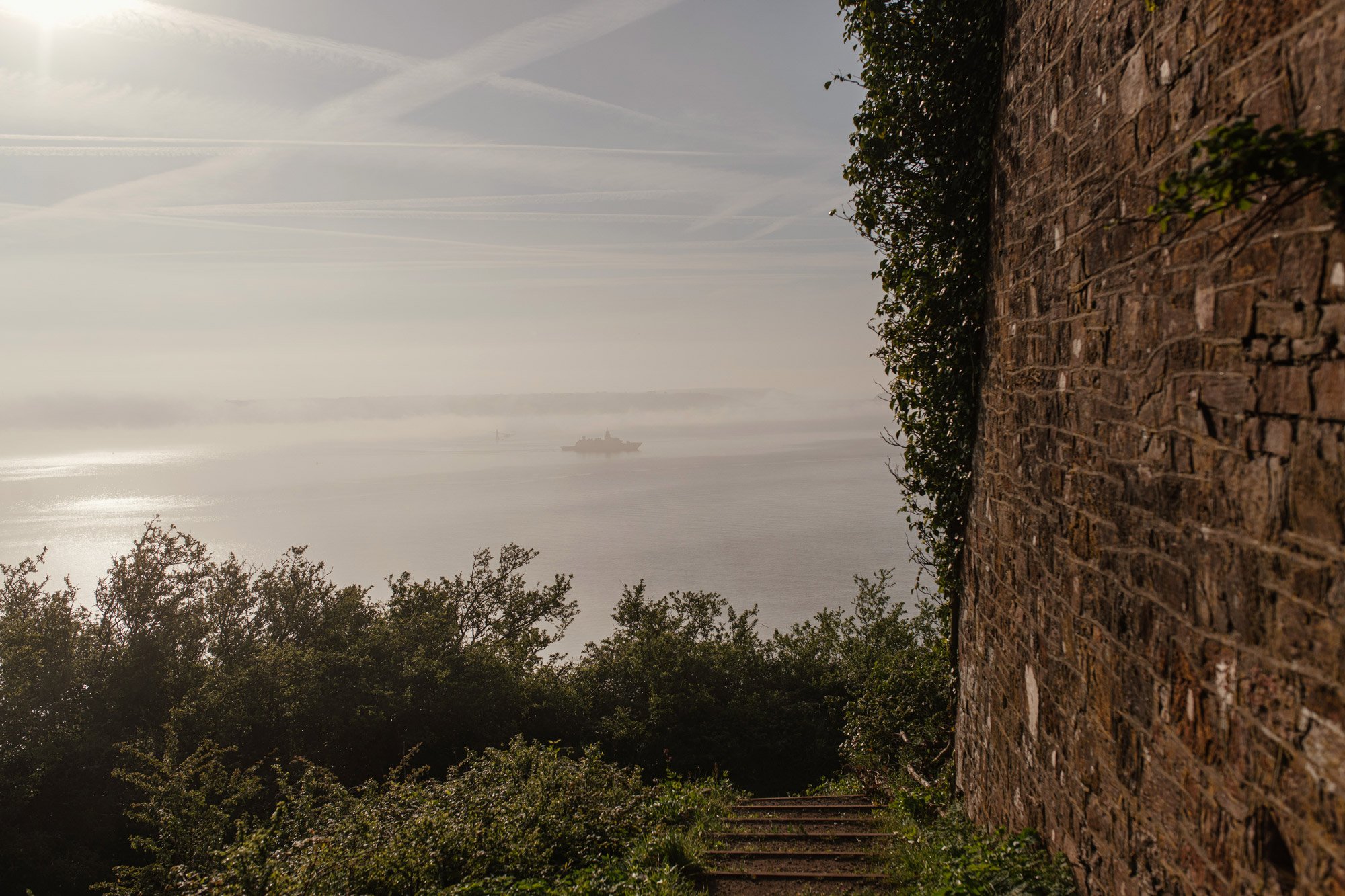
Because of severe sickness onboard and poor weather, a likely landing at Cawsand did not take place, but it had become clear there was a need to protect Plymouth Dock. It was realised that the sheltered anchorage in Cawsand Bay offered a landing opportunity for an invading force to take Maker Heights, control the entrance to the River Tamar and potentially bombard both the dockyard and naval ships from high ground.
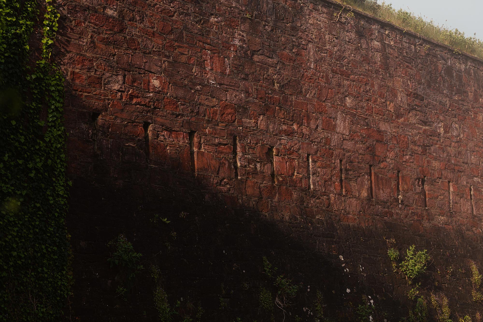
Immediately after the invasion was abandoned and the fleet had moved away, soldiers stationed at Maker Heights began building a line of Redoubts (defensive gun positions) to protect the eastern end of the Rame peninsula. By 1782 five emplacements had been completed, manned and armed, and by 1791 two – Redoubt Nos. 4 and 5 - were stone faced and also incorporated defensible barracks.
Redoubt No 1
Can be seen at the entrance to Maker Camp.

Redoubt No 2
Is immediately in front of the Barrack block.

Redoubt No 3
Is positioned next to the pathway towards Cawsand Bay.

Redoubt No 4 / Grenville
Is positioned next to the pathway towards Cawsand Bay.

Redoubt No 5
Is north-east of Maker Heights overlooking Millbrook estuary.

Records are scant but around 1800 the Barrack block was completed and was quoted as providing accommodation for about 350men and 50 horses. This included additional support buildings (stores, stables, latrines etc).
However, after Waterloo in 1815 all the Redoubts were de-commissioned as the French threat had ceased. After this no further work was done on the Redoubts until Redoubt No. 4 was re-armed in the 1850’s when there was concern over another French threat. It was upgraded over the next 50 years as naval gunnery dramatically improved and coastal defences had to be modified.
You can also see two later defensive structures here at Maker Heights:
In Redoubt No.1 there are the remains of a 1950 Orlit ‘B’ aerial observation platform, and a 1960’s Royal Ordinance Corps (ROC) nuclear bunker.
In the field to the east of the Barrack block is the site of a World War 2 Heavy Anti-aircraft (HAA) Battery set up to protect Plymouth from high level bombing by the Luftwaffe in 1940.
With the exception of Redoubt No. 2, all these historic structures are protected and managed by the Rame Conservation Trust.
