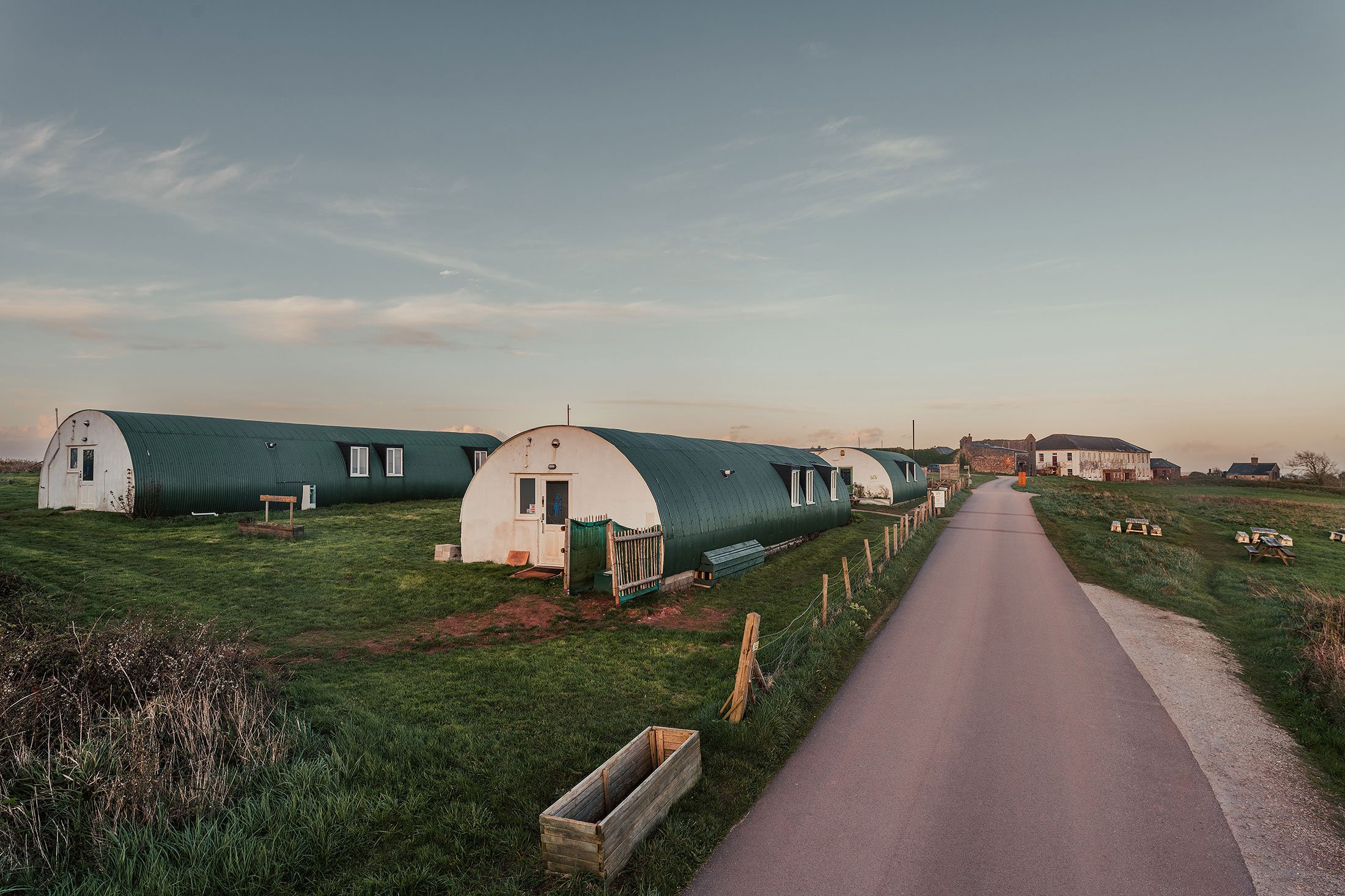
The Early History
of Maker heights
The Early History of Maker Heights.
The elevated position of Maker Heights provides long distance panoramic views. These include Cawsand Bay to the south, Plymouth Sound to the east and Millbrook Lake and Hamoaze to the north, along with views of farmland, rolling hills and woods, with Plymouth and Dartmoor beyond.
The underlying geology of Maker is mapped as Lower Devonian sandstones, siltstones and slates forming shallow hard rock soils, with sandy raw soils on marine levels. The large north-south hilltop of Maker Heights, however, comprises rhyolite rocks of volcanic origin – their deep red colouring is a distinctive feature of local buildings.
Early people
The first known people on Maker Heights were hunter-gatherers of the Middle Stone Age. Their tools were made of flint, and a flint scatter was recovered, in the nineteenth century, from near the ‘old fort’ on Maker Heights. It comprised ‘almost all the recognised forms of smaller implements such as flints, scrapers, knives, sling bullets etc., with cores and many fractured pieces.’ These have since been dated to the Mesolithic period (12,000-6,000 BC) and are in Plymouth’s museum, The Box.
Mesolithic flint-workers
It seems likely that Maker Heights – with its steeply sloping sides and shelter from prevailing winds - was attractive to the Mesolithic people. The surrounding woods, valleys and rivers offered access to resources, especially fish and migrating herbivores such as deer and wild cattle.
Maker Heights is recorded in the Cornwall Historic Environment Record as a ‘prehistoric occupation site’ because the range of archaeological materials indicate a flint-working site. It was considered that 'in all probability there was once a village here’.
There is, however, little or no flint in Cornwall. Mesolithic people probably learned to recognise flint beach pebbles and then - eventually - to trade for larger flints with people from further east.
Neolithic hunters
Mesolithic hunters, following the herds, were gradually replaced by Neolithic people whose way of life included regular settlement sites. Larger flints provided sharp spears and arrows. The open hilltop at Maker would have been the best hunting ground and fire might, as on Bodmin Moor and Dartmoor, have been used to keep it open. For them, too, the seasonal round could have remained a fixture. In autumn the people followed the animals down into more sheltered places, feasting on fungi and, at the right times, taking fish and crustaceans from the shore, while fish from the freshwater streams would have added variety.
Iron Age settlers
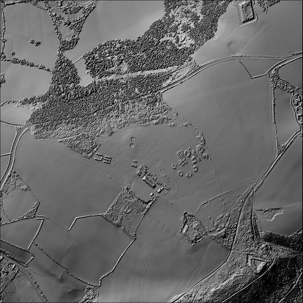
Continuing with the timeline of history, there are indications at Maker Heights of a semi-circular stone bank that is likely the remains of a round or defended settlement enclosure. A round is an Iron Age or Romano-British settlement enclosed by a bank and ditch. There is a chance that this site may have prompted the origin of the placename ‘Maker’ - Cornish magoer meaning 'wall, ruins or remains'.
In addition, four metal-detecting finds from the site have been reported to the Portable Antiquities Scheme: a Roman copper alloy finger ring, a modern cast of an Iron Age stater, a silver Roman coin, and a Roman copper alloy brooch .
Middle Ages
In 1515 Henry VIII granted a Royal Licence to create the nearby Mount Edgcumbe Deer Park. Then, around 1550, the original Mount Edgcumbe House was built. Decorative landscaping was started and the gentle hilltop at the eastern end of Maker Heights was gradually enclosed. The Edgcumbe family went on to create a landscaped parkland of national importance.
The western end of Maker Heights shows signs of likely medieval field systems. Field-name evidence suggests that a corn-grinding windmill once stood on the Heights. A map of 1730 shows two fields called ‘Great Windmill’ and ‘Little Windmill’ . The fields were likely merged when the fortification of Maker Heights began in 1780.
Further information is available in our Conservation Management Plan.