Landscape
heritage
The landscape heritage of Maker Heights
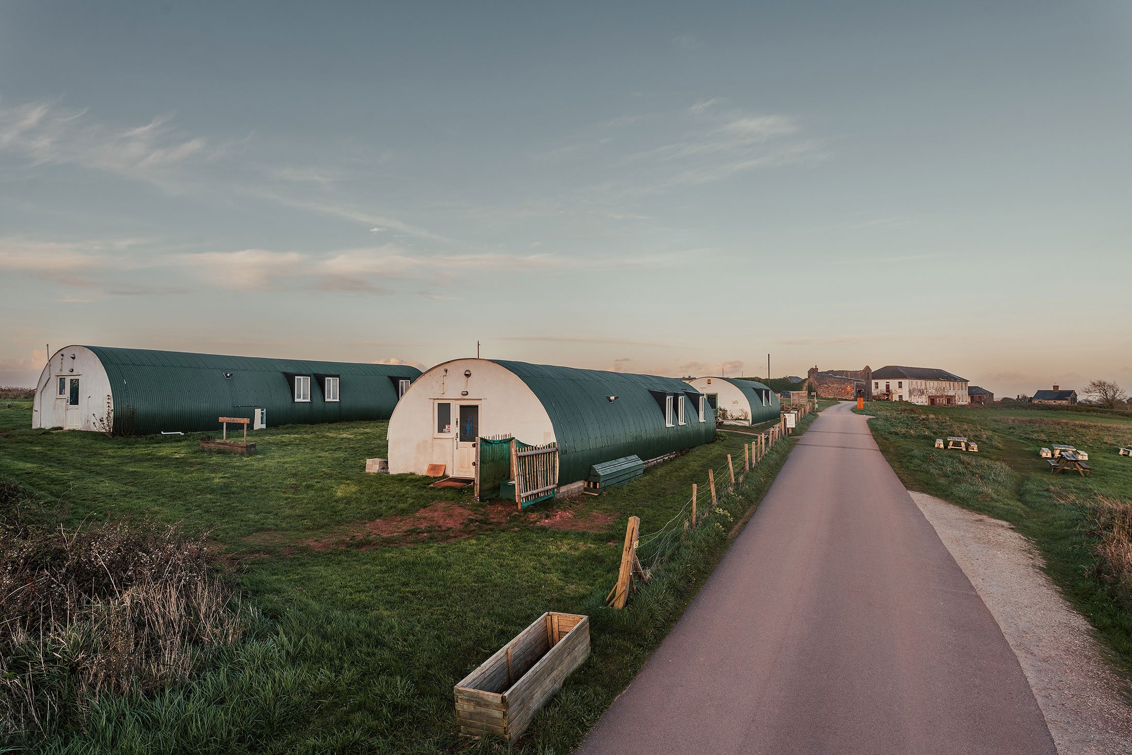
Maker Heights is located at the highest point of the Rame Peninsula and enjoys wonderful views of the surrounding land, sea and sky. The site is rich in natural and human histories. It is a place where a unique combination of heritage assets offers enjoyment and inspiration.

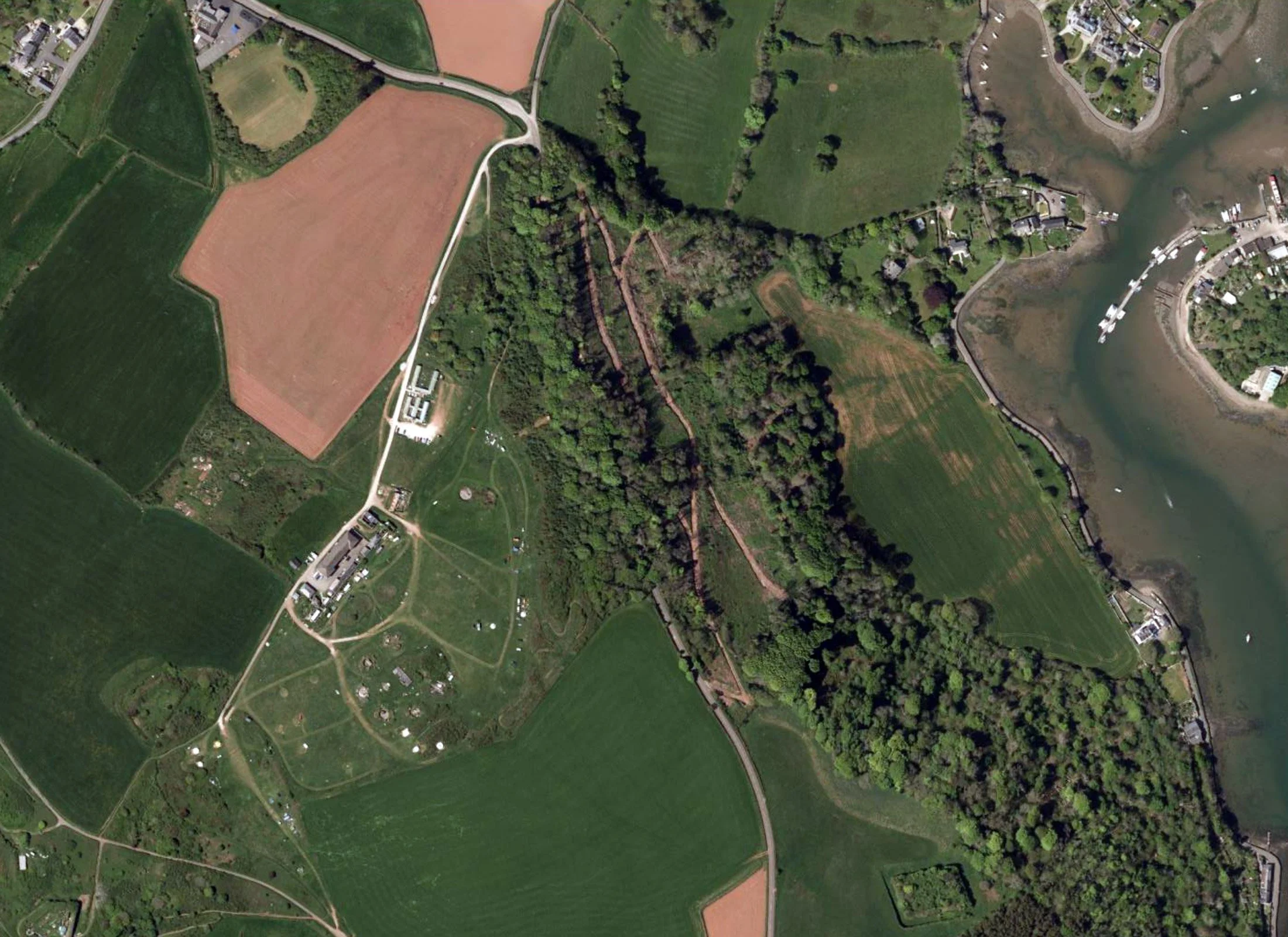
At least 96% of the site is greenspace – where the soil, water and plant communities combine to create diverse natural systems. In addition, the place has been shaped by centuries of human history. Maker Heights includes extensive archaeology, beginning in the Mesolithic period, and many historic buildings. The Conservation Management Plan for Maker Heights describes the historic landscape of the place.
Read more

The landscapes of Maker Heights

The Natural Landscape of Maker Heights
Maker Heights is located at the highest point of the Rame Peninsula and enjoys wonderful views of the surrounding land, sea and sky. The site is rich in natural and human histories. It is a place where a unique combination of heritage assets offers enjoyment and inspiration.

The Early History of Maker Heights.
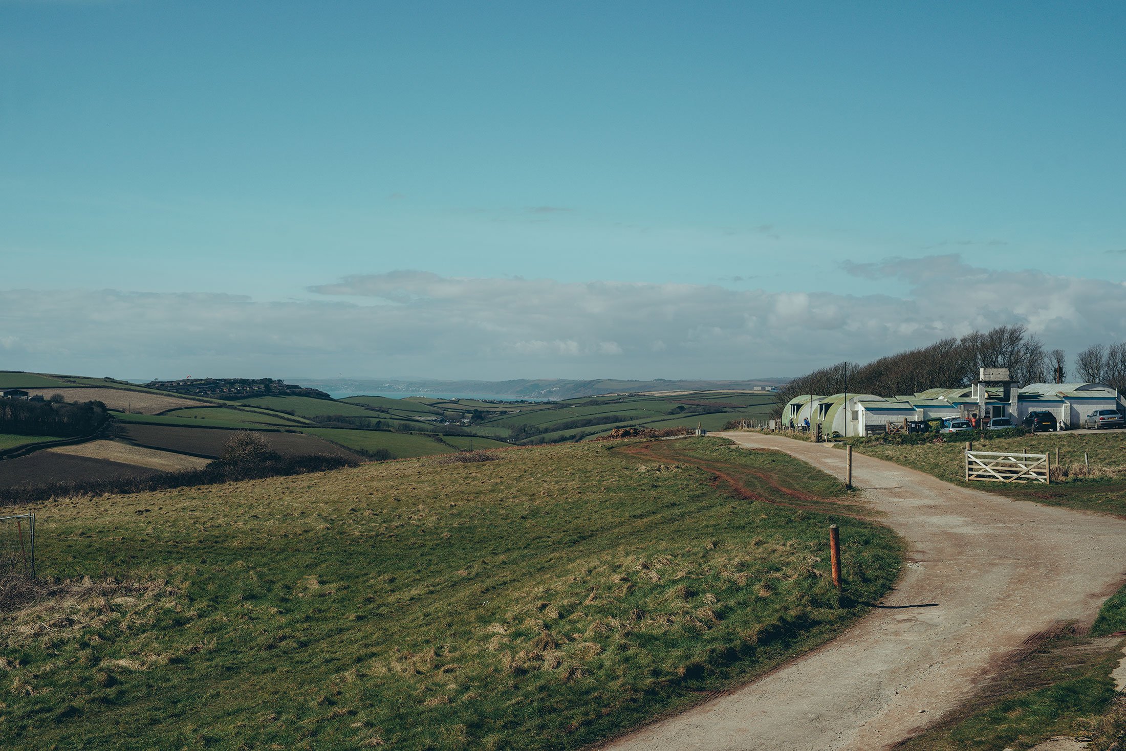
The elevated position of Maker Heights provides long distance panoramic views. These include Cawsand Bay to the south, Plymouth Sound to the east and Millbrook Lake and Hamoaze to the north, along with views of farmland, rolling hills and woods, with Plymouth and Dartmoor beyond.
Conservation Management Plan
In June 2019 Cornwall Archaeological Unit (CAU) was commissioned by Cornwall Council to produce a Conservation Management Plan (CMP) for Maker Heights. The aim of the CMP was to assess the significance of the site and propose a philosophy and strategy for future management, maintenance and repair.